‘It’s not just about circling things on a map’: how our journalists use and corroborate satellite imagery
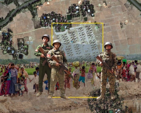
From the destruction of Gaza to climate breakdown, satellite imagery has become an indispensable reporting tool. But as a recent Guardian investigation illustrates, a lot of work goes into ensuring…
The Guardian
Full text, translation and AI summary — after signing in
- The full article in your language
- AI summary and translation from the original
- The same account works in the Suviy app
Related coverage


Comments
Sign in to join the conversation. Sign in
No comments yet.